To map your trail route effectively, first assess your skill level by considering your experience and fitness for the planned terrain. Research trail conditions by checking weather reports and local ranger updates. Use reliable mapping tools like Google Maps or AllTrails, downloading maps for offline use. Plan for emergencies by packing a first-aid kit and sharing your itinerary with a friend. Finally, optimize your packing list with essentials like water and snacks, focusing on lightweight gear. By following these tips, your Trail Mapping success will be within reach, with more details available to enhance your planning strategy.

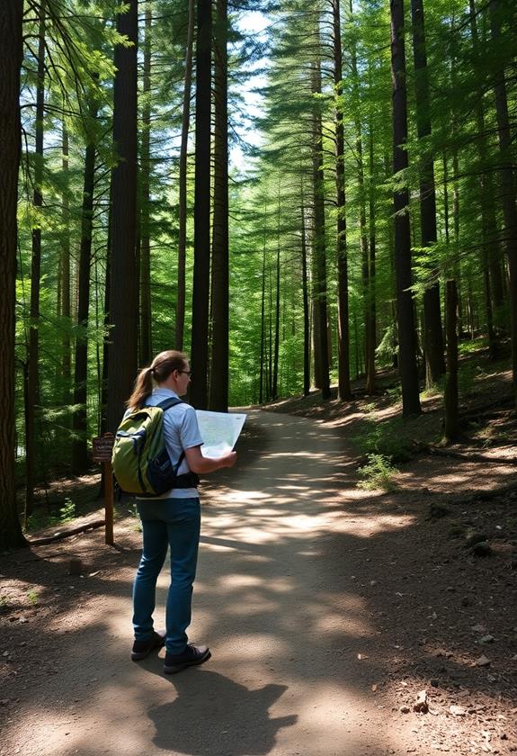
Evaluating your skill level is essential before starting any journey, whether you're hiking, biking, or driving. First, consider your experience with similar activities. Have you tackled challenging trails, or are you more comfortable with beginner paths? Be honest about your strengths and weaknesses. If you're gearing up for a backpacking adventure, make certain you have the essential gear to support your skill level and guarantee a comfortable trip. Next, think about your physical fitness. Can you handle steep climbs, or do you prefer flat terrain? It's important to match your abilities with the trail's demands to ensure safety. Also, assess your knowledge of navigation tools, like maps or GPS devices. Finally, don't forget to evaluate your endurance. How long can you maintain your energy level? Understanding these factors helps you choose routes that match your skills, securing a safe and enjoyable adventure.

Before you set out on any adventure, researching trail conditions is an essential step in your planning process. You'll want to know what to expect, guaranteeing your journey is safe and enjoyable. Start by checking recent weather reports, as weather can drastically change trail conditions. Look for trail reviews online, where fellow hikers share their experiences and insights. Contemplate bringing along a lightweight filter to guarantee access to safe hydration in case water sources are not as expected. Contact local ranger stations or visitor centers for updates on trail closures or hazards.
Here are some key factors to reflect on:

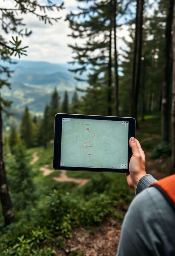
When planning your route, utilizing mapping tools is essential for charting trails efficiently and safely. Start by choosing a reliable digital map app or website, like Google Maps or AllTrails, which provides detailed trail information. These tools let you zoom in for a closer look at the terrain, elevation changes, and distance. It's also wise to take into account backpacking flashlights to illuminate your path, especially for early starts or late finishes. Next, use GPS features to pinpoint your starting point and destination, ensuring you stay on track. Look for tools that offer offline maps, as cell service might be unreliable in remote areas. It's helpful to download the map before your hike, so you can access it anytime. Finally, always cross-reference your digital map with a physical one for backup, in case of technology failure.

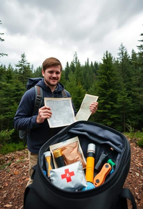
While mapping tools are invaluable for planning your route, preparing for emergencies is equally important to guarantee a safe journey. You never know when unexpected situations might arise, so it's essential to be ready. Start by packing a basic first-aid kit, and make sure you know how to use it. Familiarize yourself with the area's weather patterns and have a plan in place if conditions change suddenly. Share your itinerary with someone you trust, and establish check-in times.
Here are some essentials to take into account:

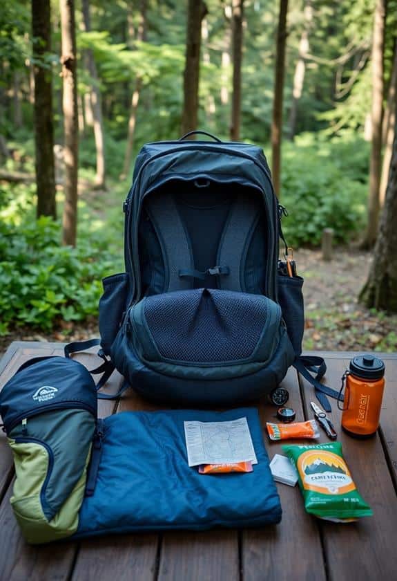
Packing efficiently is essential for a successful journey, ensuring you have everything you need without carrying unnecessary weight. Start by making a list of must-have items, like water bottles, snacks, a first-aid kit, and weather-appropriate clothing. Prioritize lightweight, multi-use gear to save space. Consider the duration of your trip; longer trips may require more food and extra layers. Use packing cubes or compression bags to organize and compress items, maximizing space in your backpack. Don't forget to check the weather forecast, adjusting your packing list accordingly. Always pack an emergency kit with items like a map, compass, and flashlight. Keep your backpack balanced by distributing weight evenly, placing heavier items close to your back.
To choose a trail that matches your fitness level, first assess your current fitness by considering how often you exercise and for how long. Look at trail descriptions, focusing on distance, elevation gain, and terrain difficulty. Beginner trails are shorter with gentle slopes, while advanced trails have steep climbs and rugged paths. Always check the trail's difficulty rating and match it with your abilities. Start with easier trails and gradually challenge yourself as you improve.
To find new trails, start by using online platforms like AllTrails, TrailLink, and Gaia GPS. These sites offer maps, reviews, and difficulty ratings, helping you choose trails that suit your interests. Visit local parks' websites for information on trails nearby. Join hiking groups on social media to get recommendations from fellow hikers. Check out guidebooks at your local library for detailed trail descriptions. Use these resources, explore new paths, and enjoy your adventures.
To guarantee you have accurate trail maps, start by downloading maps from reliable apps like AllTrails or Gaia GPS. Check for updates, as trails can change over time. Visit park websites for official maps and trail conditions. Print a physical map as a backup, because devices can fail. Talk to park rangers or local hikers for the latest information. Double-check your route, and make certain you understand the map symbols and terrain details.
If you encounter wildlife unexpectedly on the trail, stay calm. Don't run, as sudden movements can provoke animals. Instead, slowly back away, keeping your eyes on the animal without making direct eye contact. Make yourself appear larger by raising your arms, and speak calmly. If the animal approaches, make loud noises to deter it. Always respect wildlife and keep a safe distance. Carrying a whistle or bear spray can provide extra safety.
You can use several apps to get real-time trail updates and alerts. Try AllTrails, which provides real-time conditions and user reviews. Gaia GPS is another option that offers live weather and trail conditions. Both apps send notifications about closures or hazards. For more detailed alerts, Trailforks is excellent for mountain biking trails. These apps help you stay informed, ensuring you're prepared for any changes while you're on the trail.
